When I talk to people about the history of the Mother Road, I say, “Route 66 has always been a road of the future.” In those early days, that meant upgrading the highway from a patchwork of dirt, gravel, and concrete to a fully-paved all-weather road to connect Chicago to Los Angeles. Today, it’s becoming a corridor of reliability for the latest electric vehicles. The road itself has taken a journey over the last century; the evidence of that journey is best experienced today in areas where there are multiple alignments to choose from.
If you start browsing any kind of Route 66 group online, you’ll soon see people talking about Route 66 alignments. Although Route 66 is often seen as a single highway from its beginning in 1926 all the way until it was decertified in 1985, that is not the case at all. Over the years, 66 shifted from here to there, much like a river that takes a new course (Thank you, Richard Bosselman, for that lovely comparison.) Sometimes it was minor, but oftentimes it created a major change to the road’s footprint. That change impacted homes and businesses that found themselves bypassed, no longer on the Main Street of America.
Tulsa has a good example of this kind of change. When US Highway 66 was established, it came into the city from the east on 11th street. Because the street was not fully paved and there was no bridge across Mingo Creek, the highway went north for a mile on Mingo Road and then continued westward on Federal Drive (now Admiral Place.) See here:

In Tulsa, this is known as the “original alignment” of Route 66. Signs along the corridor are marked with the familiar brown signs with an added “1926-1932” designation below it. It was in ’32, after 11th Street was paved, that the City of Tulsa decided to straighten out their little section of Route 66. Even though it was only part of the highway’s story for six years, businesses on Admiral still celebrate that legacy. The traffic circle that was once home to Cyrus Avery’s filling station, restaurant, and motor court (You can see “Avery Tourist Camp” called out in the map above) is where the massive Route 66 Rising sculpture stands today.

In other areas, changes had a much greater impact. Originally, Highway 66 came through downtown Depew, Oklahoma. However, after only two years, the road there was straightened out and the entire town was bypassed. Thankfully, Depew hung on and survives to this day, but the change definitely shaped the town’s growth. Oklahoma City is another place where the road was re-aligned…multiple times, actually. If you look at a map of all the various alignments today, it can be hard to follow. Thankfully the city has recently put up signs on a few alignments to help guide travelers! Santa Fe, New Mexico was famously bypassed and Illinois has two major forks of the old highway to choose from. There’s more, but, you get the idea.


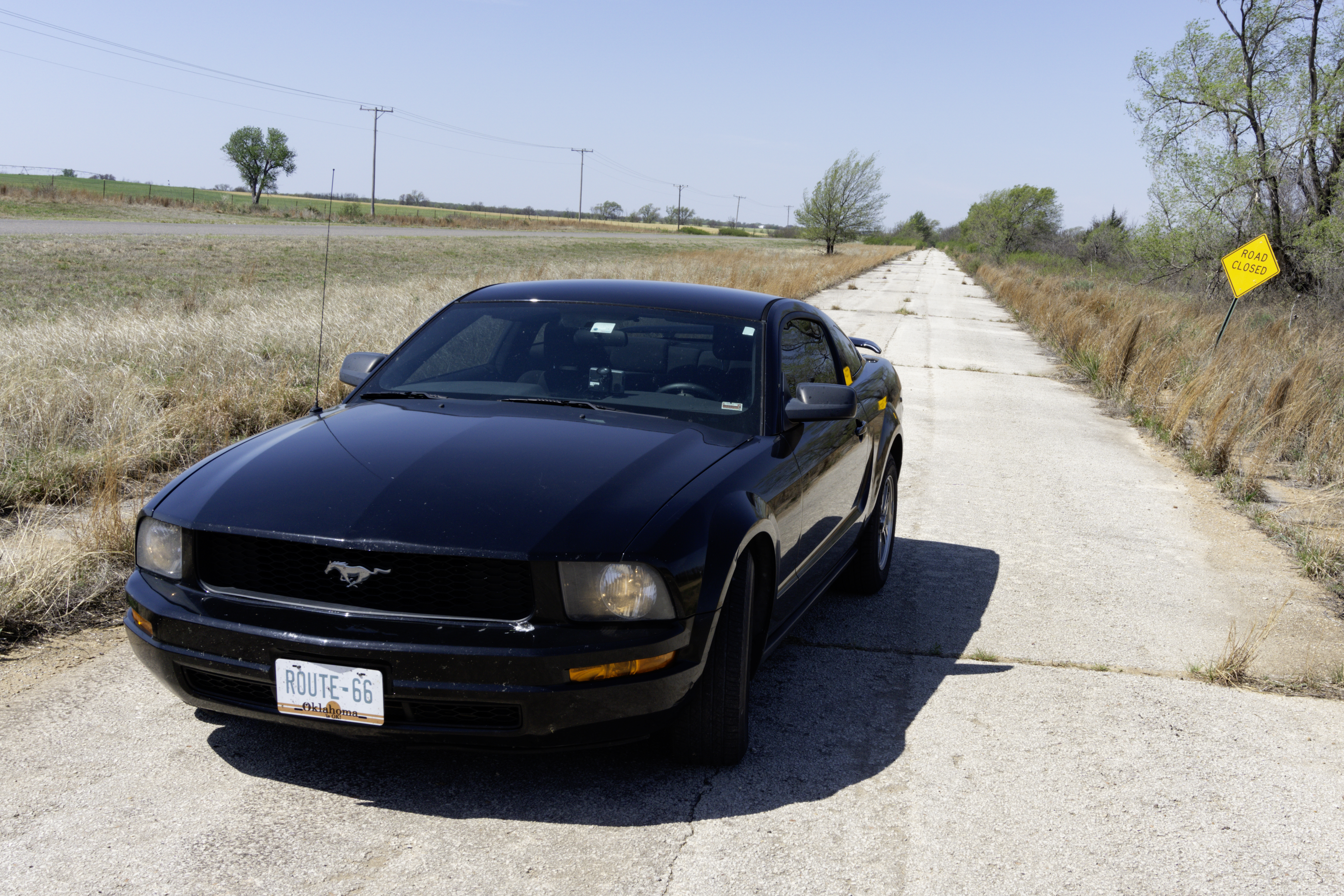
These changes are why it can be difficult to drive Route 66 without the proper resources. Of course, none of this even covers the seismic shift that the interstate highway system brought to the road. Entire sections of Route 66 were destroyed and overlaid by the superslab; others now dead-end or meander into private property. However, don’t let that scare you out of a road trip. About 80-85% of the original highway is still drivable and very much alive. Historic signage started popping up in the 1990s to help with wayfinding, but it can be unreliable. Signs do go missing, after all. It’s best to plan a little before you leave!
Before Jerry McClanahan’s EZ-66 Guide, there were very few resources that people could use to travel the old road. We’re very fortunate that he not only created this turn-by-turn guide, but that he constantly updates it to account for new changes. The Route 66 Navigation app is the next evolution of travel assistance, where drivers can choose from several GPS-assisted routes to travel as much of Historic Route 66 as they like with point-of-interest callouts along the way. And the Oklahoma Route 66 Association Trip Guide has been providing town-by-town directions in the Sooner State since 1996.

So, if you plan to motor west along the highway that’s the best, be sure you pick out some great tunes, pack plenty of snacks, and keep a guide handy to ensure you don’t miss the sights that make Route 66 such a great experience.

Hi Rhys, This is another terrific artic
thank you for all your hard work.